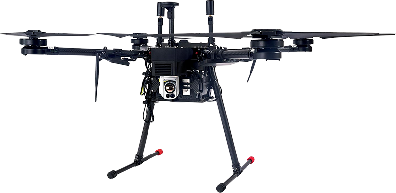
Industrial Applications for long endurance missions, Surveillance, Professional Aerial Photography
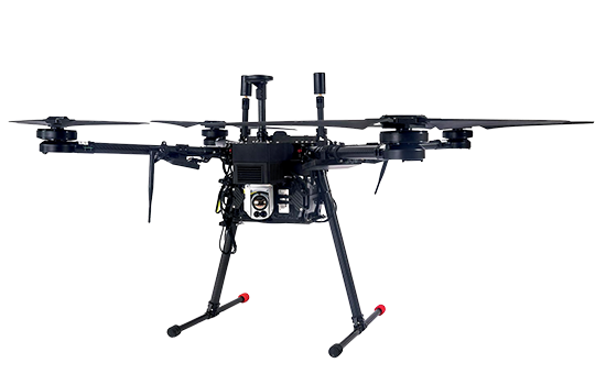
ERE 95 Mini
Inspection drone
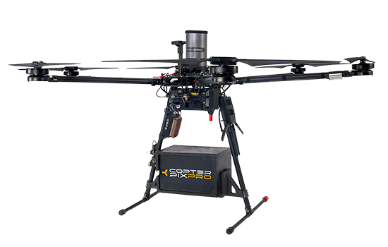
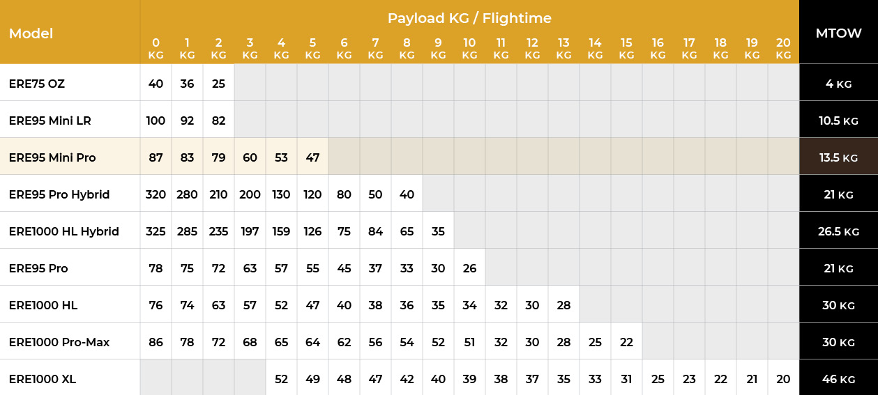
30% Plus:
More Time, Range & Payload
Capabilities


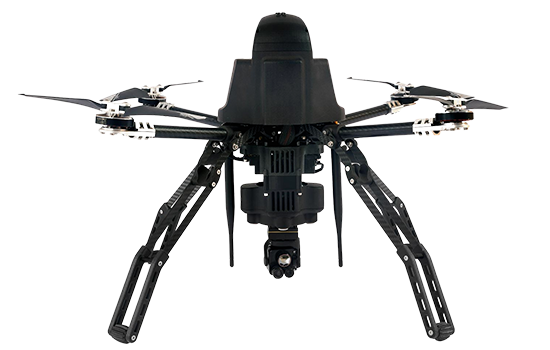
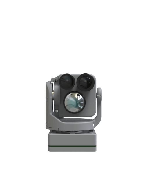
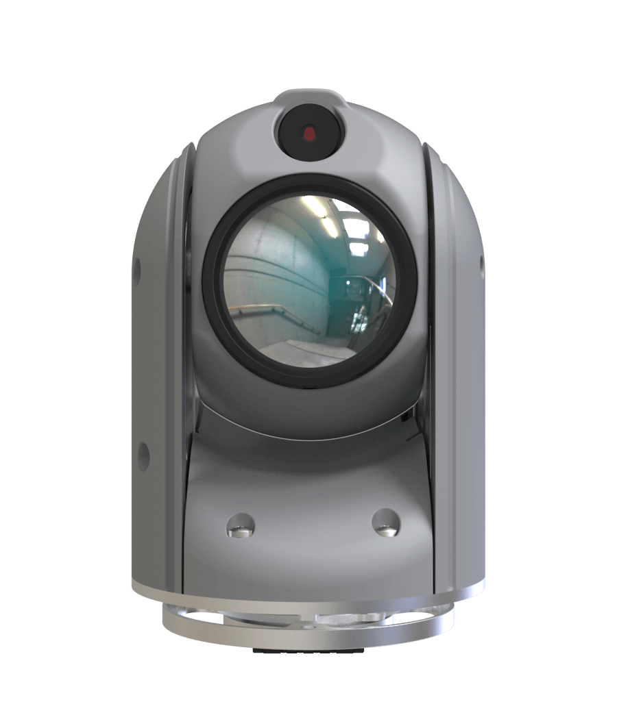
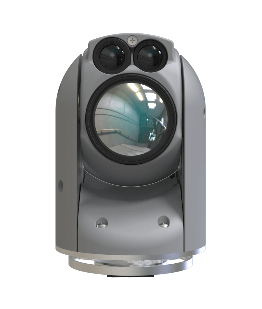
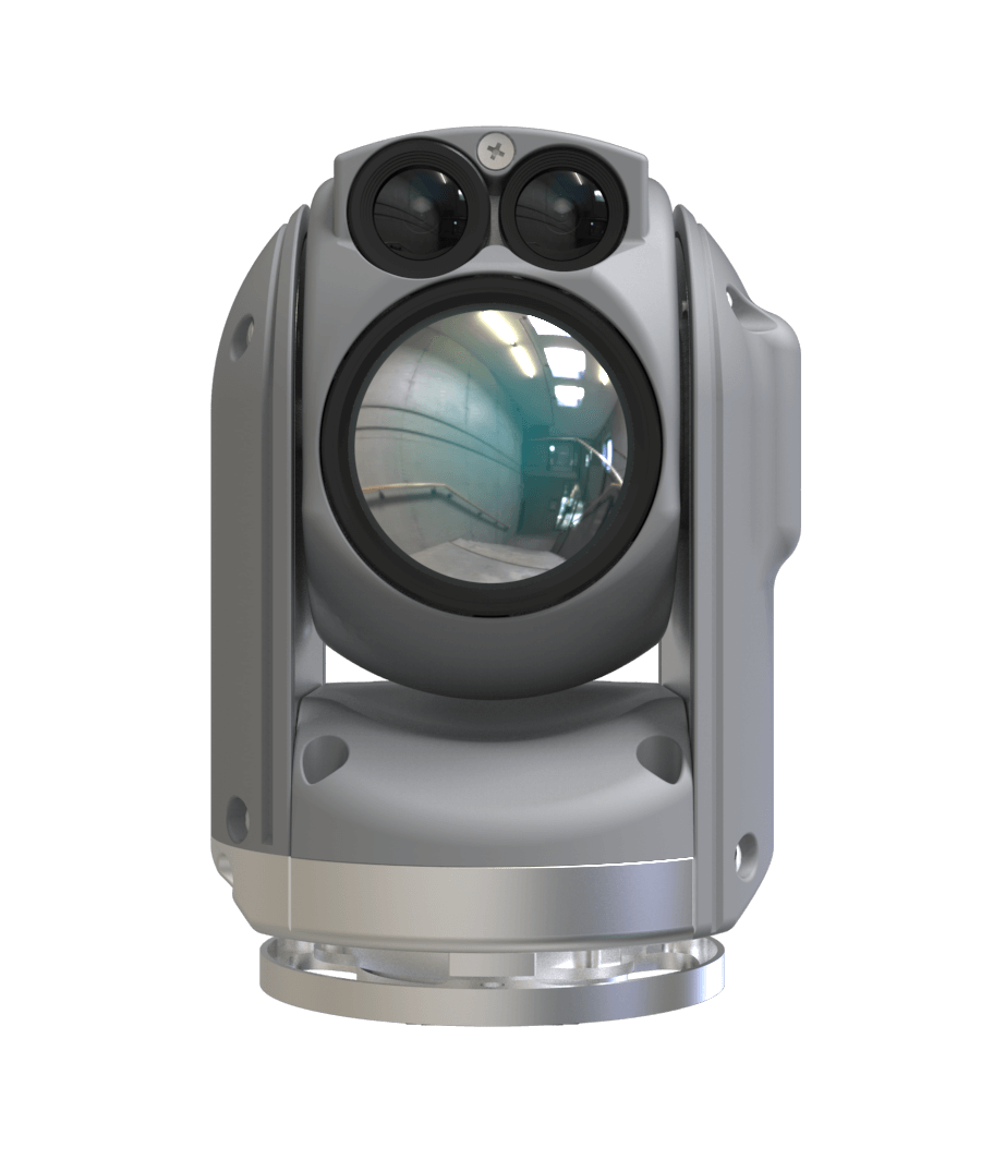
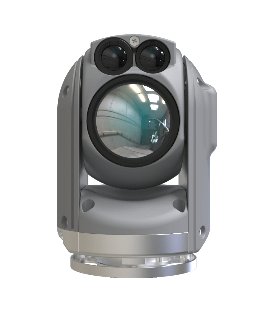
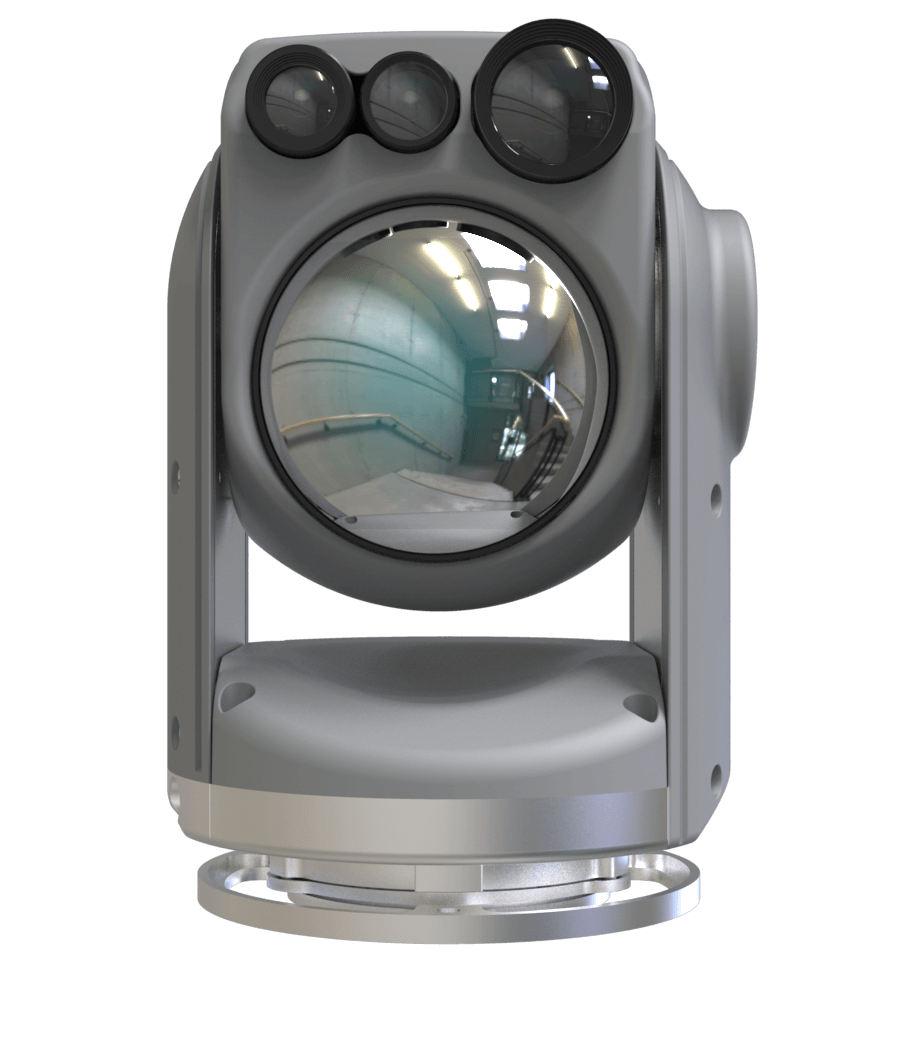
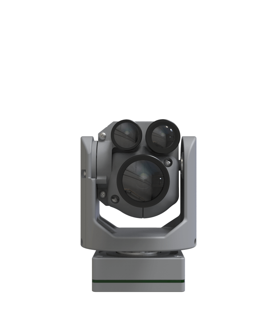
Camera
State of the art dual gimballed cameras with advanced analytics
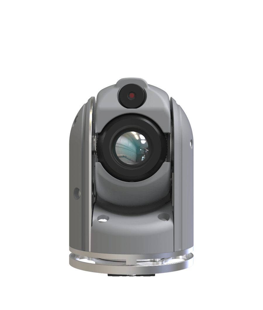
Colibri1

Weight: 160g

Zoom: X13.2

IR: 640 x 480
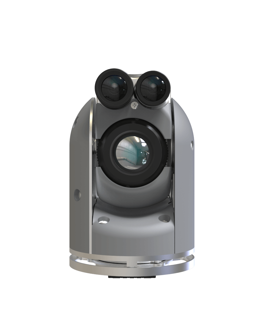
Colibri2
Weight: 180g
Zoom: X40
IR: 640 x 480

Colibri212
Weight: 180g
Zoom: X40
IR: 640 x 480
Dragoneye2
Weight: 115g
Zoom: X40
IR: 640 x 480
Nighthawk1
Weight: 220g
Zoom: X13.2
IR: 640 x 480
Nighthawk2
Weight: 250g
Zoom: X40
IR: 640 x 480
Nighthawk2-V
Weight: 320g
Zoom: X40
IR: 640 x 480
Nighthawk2-UZ
Weight: 350g
Zoom: X40
IR: 1280 x 720
Raptor
Weight: 640g
Zoom: X80
IR: 1280 x 720
X80
Weight: 140g
Zoom: X80
IR: Day Only
Analytics
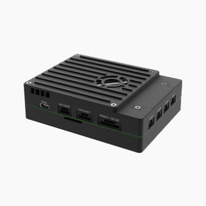
TRIP5 provides EO/IR object tracking, geo location, video compression, IP Streaming, video recording, LTE, and license plate recognition capabilities. EO/IR object tracking points the camera to track a subject within the camera’s range, ensuring the subject of interest never leaves the view. Geo location captures the position of the camera, its line of sight, and extracts location of observed objects with unprecedented accuracy. Video compression and IP encapsulation provides significantly low latency compression enabling long range operation. TRIP5 records high quality video with GPS metadata attached and keeps snapshots to a MicroSD card for simple access and expansion.
Communication

Multi Band

Cellular / Sat

Encryption

Network Relay

Mesh Networking

MultiInput MultiOutput
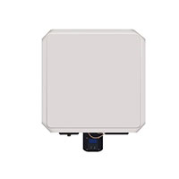
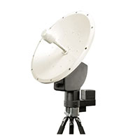
Antenas
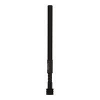
Omni
Range: 5 km
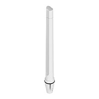
High gain Onmi
Range: 10 km
Directional
Range: 20 km
Tracking Directional
Range: 50 km
Sat \ LTE \ 5G
Range: Unlimited
NON-GPS Navigation
Copterpix offers a unique solution for denied GPS environments, enabling operation in any condition, day or night, indoors or outdoors, on the ground, or overseas. Copterpix Non-GPS Navigation relies on multi-layer
- DR (dead reckoning) for accurate positioning using the drone’s internal IMU
- Relative position estimation based on vision (SLAM and optical flow) or radar-based position estimation
- Absolute position based on pre-loaded imagery
Accessories
- RTK – GPS Positioning accuracy down to centimeter-level
- 360 degrees obstacle avoidance
- Lidar collision avoidance
- Remote id and ADSB
- Companion Air Unit (Linux \ Windows OS)
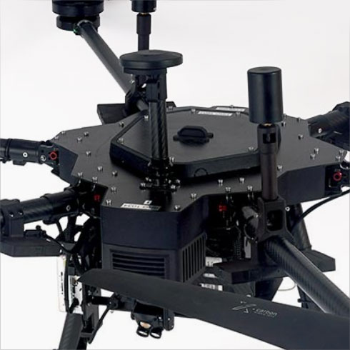
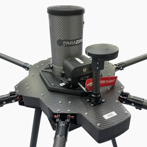
- Aerial safety system (Parachute)
- DR – Dead Reckoning
Custom Drones
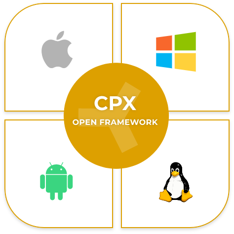
- Any 3rd party integration hardware or software (based on our CPX open framework)
- Custom hardware and software development
- Custom mechanical device development
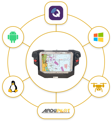
Ground Control Unit
Copterpix GCS offers a professional ground control station (GCS), featuring a high-brightness touch screen display and integrated AES 256 encrypted data and video links.
With the CPX GCS, you can easily and securely control your drone and payload, and customize the button layout to suit your needs